Posts

Showing posts from October, 2012

Longley Margate Circuit

Image
Wednesday 24 October 2012 A geocaching day along the old Huon Highway from Fern Tree to Longley then back down the main highway to Sandfly to grab a a few along the road to Margate before collecting our granddaughter from school at Kingston.   Winter Falls This was the first stop for the day and the clue made it quick to find, especially as we have seen similar.   The Japs are coming Part 2 What made this easy was the cache container being clearly visible on peeping down behind the structure; we hid it away out of such easy sight. CD Cache A family were picnicking at a table and probably wondered what two people with GPS pen and paper were doing heading off towards the river. A great mob of chooks also raced towards us as soon as we got out of the car; assuming we guess that we had something nice to through their way. The GPS was a bit erratic under the trees but Peter spotted a location that seemed a likely spot and so it turned out to be.   Old and Older A most interesting bit

Western Wellington Exploration

Image
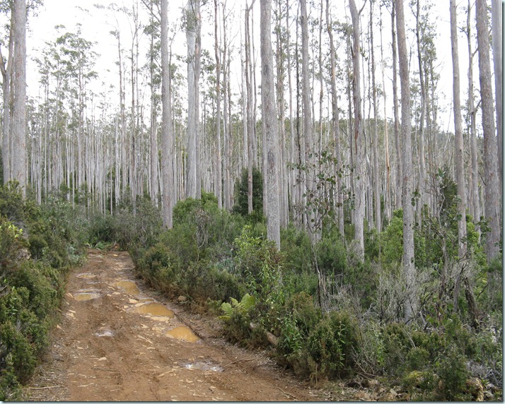
  Thursday 18 October 2012 I had never been beyond White Timber Mountain and as the area was mooted as part of a multi-day walk thought  I would check out what the country at the western end of the Wellington area was like.   I had driven up Judds Creek Road had a look about and walked part way along and old access path towards mount Lloyd.  While in the area I thought I would attempt up a few geocaches on the way home.   Ancestral Glen I was taken by the nostalgia with this cache, so, OldSaint, I really was keen to find this one at Glen Huon.   I have mainly gone through the area on way to a bushwalk and one of the places visited is Woolleys Tarn and it nice to think there is a connection.  I always understood the tarn was named after a local who was keen fisherman. Anyway when i (Peter only on this day) arrived there were a couple of kids whose mothers I think watched over them a bit closer when they saw a somewhat dishevelled fellow walking past looking at a GPS.  The clue he

White Timber Mountain

Image
Sunday 14 October 2012 Whilst returning from a bushwalk to White Timber Mountain, some caches located on the drive back were searched for with Barad Bunch.   Jeffreys Track We searched for some time, even had a car of muggles pass us during the search and pass again on their return. However no luck in finding it.   4 Corners-3 The neighbour and her dog greeted us and didn’t think it strange to see people with GPS units outside her home; maybe she had seen it all before. We looked at the likely spots then suddenly a thought of a possible hiding place proved correct. After replacing it we wondered why we didn’t see it straight away.   4 Corners-4 A quick find made.   The Sleeping Mountain It was expected to be on or near the information sign, but not so. However Barad was quickly on to it.   Stuck Between a Rock and a Hard Place We were in the car park on the opposite side of the highway and realised that we had to get over to the GZ. As we had to go past in the car anyway, this s

Derwent Circuit

Image
Wednesday 10 October 2012 With a fairly nice day forecast we decided to drive up to New Norfolk and try to find a few caches we had noticed. Reading some past logs for one at Granton had intrigued and so that was to be the starting search for the day. We were also amused when a car pulled up near a lookout but the occupants walked past it for what we later discovered was a cache site.   8.8 Peter put his hand on what eventually proved to be the cache, but as it didn’t budge decided it wasn’t a container. Sue then noticed a suspicious characteristic and after a bit of fiddling we had it.   Murphys gone flat Even though we had seen a hide similar to this we did not find it for a while. After searching about Peter then rechecked the GPS and walked to where it pointed and promptly put his hand on and object and there it was..   New Norfolk, Historic Town The hint was very helpful and only the muggle who walked by caused us to be a bit cautious. Left trackable geocoin.   Stop N

Freycinet Bushwalk

Image
3 – 5 October 2012 As we were going on a bushwalk to Freycinet Peninsula the potential geocache finds in the area were checked and several were close to our route. We went for three days, camping at Cooks Beach for both nights and heading down to a rocky peak beyond Passage Beach. Graham (Graham51) was with us although he took the longer return option over Mount Graham where he also managed to locate a cache on his journey. On the way back in the car we picked up a couple in the region. Top of the Pass Our first for the day, located by Graham, and although a few muggles were about none took much notice of us,   Half empty or half full ? We dropped our packs and with two people holding GPS’s and three heading to GZ it was surprising how little attention the muggles paid to our activity. One looked up for a while but soon turned back to look at the scenery elsewhere.   Blue Champagne Our objective for the days bushwalk was the southern peak on the Freycinet Peninsula above point Geo